
Key Takeaways:
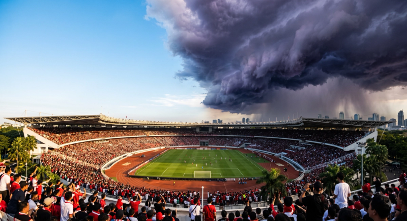
- The scale of disruption: Late 2025’s extreme weather events showed the stakes starkly. Hat Yai, Thailand, recorded 335mm (13 inches) of rain in a single day—its highest one-day total in 300 years—as flooding across 12 southern provinces killed at least 185 people and displaced over 219,000. Meanwhile, concurrent storms in Vietnam flooded over 272,000 homes and caused $3.2 billion in economic losses (Sources: Arab News, CSIS, UN OCHA / ReliefWeb).
- Five distinct hazards: Construction weather risk isn’t one generalized problem—it is five distinct hazards (rain, lightning, wind, heat, flooding). Each requires its own hyper-local thresholds, monitoring windows, and response plans.
- The limits of macro-infrastructure: Even well-invested cities remain exposed without site-level monitoring layered on top. A recent study of Southeast Asian urban drainage found that while Singapore successfully reduced its flood-prone areas by 30% through integrated infrastructure, construction sites still require dynamic, site-specific monitoring to manage localized runoff (Source: ACS ES&T Water, 2024).
- Automated Permit-to-Work integration: Feeding all five hazard thresholds into a single site dashboard and permit-to-work system via an API turns a complex hazard framework into one automated monitoring layer, replacing five separate manual checks.
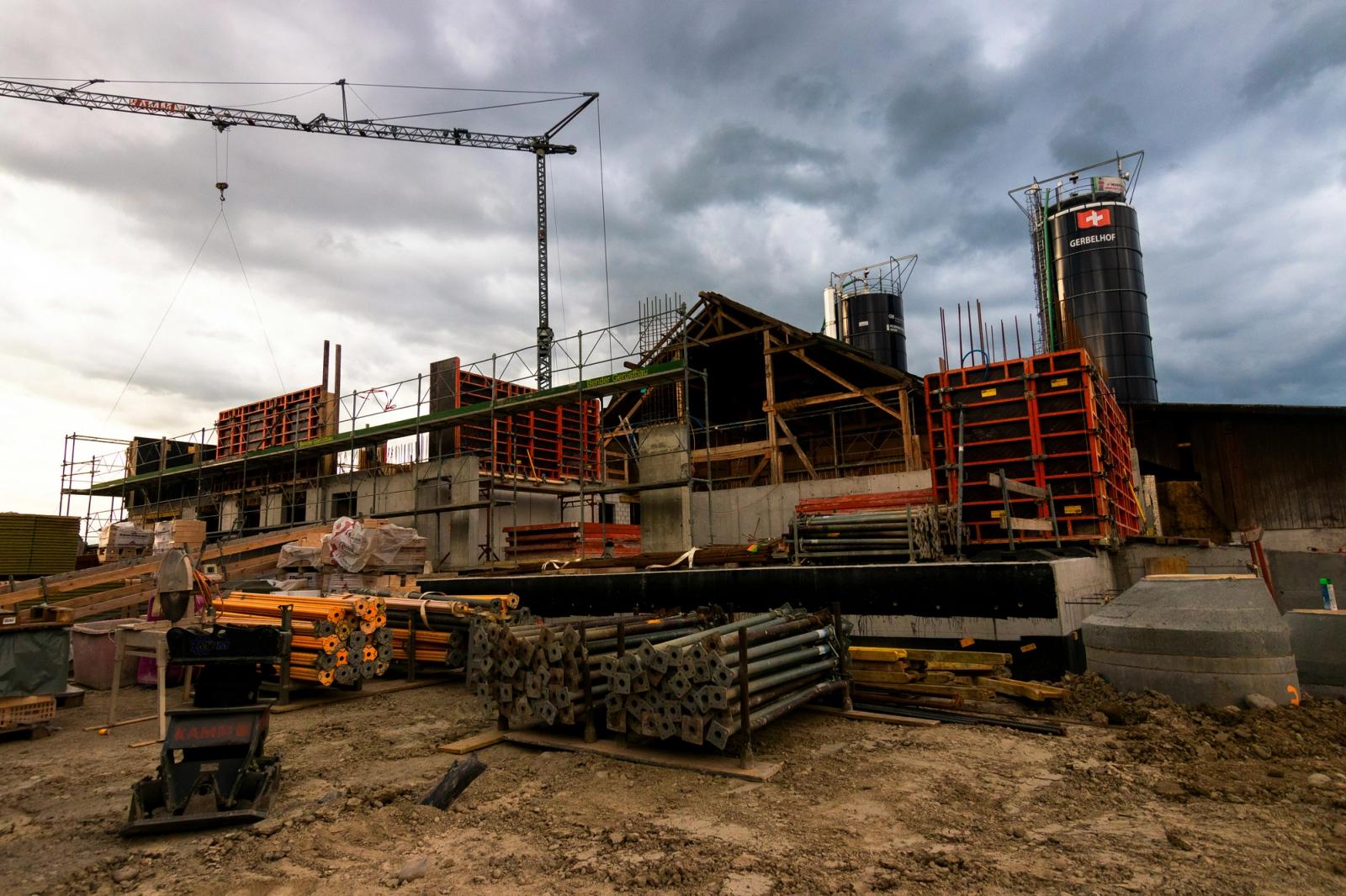
Weather risk on a Southeast Asian construction site is not a single, monolithic problem. It is a complex matrix of interrelated hazards, each with its own warning signs, operational thresholds, and required safety responses.
Late 2025’s record-breaking rainfall across Thailand, Malaysia, and Vietnam served as a stark reminder of the operating environment. A single day of extreme rain can idle a site, wash out earthworks, and compromise millions of dollars in materials. Yet, the most severe operational failures occur when site managers treat these threats as one undifferentiated "bad weather" category, rather than unpacking them into their constituent parts.
Treating weather as a single category leads to two dangerous extremes: overreaction (shutting down a site for a heat advisory as if it were a lightning strike) or underreaction (letting heavy-rain operations proceed without checking the lagging flooding risk that is quietly building for the days ahead).
To build operational resilience, project directors and safety leads must break weather down into The Big Five Hazards. Each hazard requires explicit, site-specific thresholds, powered by data that refreshes fast enough to keep pace with tropical convection.
1. Heavy Rain: The Productivity Killer
Beyond the obvious loss of labor hours, heavy rain introduces immediate, severe material risks to a site. It compromises fresh concrete pours, washes out unstabilized soil on earthworks sites, and creates immediate slip-and-fall hazards for elevated teams.
A functional, site-level rain threshold must differentiate by activity. A moderate rainfall intensity that requires you to pause a foundation concrete pour—where water contact within the first few hours will severely compromise the curing process and structural integrity—does not necessarily need to halt general indoor labor. Conversely, a high-intensity downburst should trigger an immediate site-wide stand-down for all outdoor work, regardless of the task, due to the total loss of visibility and extreme slip risk.
The challenge in Southeast Asia is the localized nature of convective rain. A national forecast might show a 40% chance of rain, but a micro-cell can drown your site while a neighboring district stays completely dry. This is why standard 5km-resolution weather apps fail construction managers. At large-scale sites like Singapore's Changi Airport Terminal 5, operators rely on 100m-resolution forecasting to know exactly which quadrant of the site will be hit, allowing them to sequence pours and cover materials with pinpoint accuracy.
2. Lightning: The Zero-Tolerance Threat
Lightning is arguably the most acute, immediate safety risk on any site featuring exposed workers, towering cranes, and steel superstructures. It is also the hazard where just a few minutes of advance warning will most meaningfully alter safety outcomes.
A common, fatal flaw in construction safety planning is tying lightning response to rainfall. Lightning can strike from a storm cell that has not yet arrived overhead. If a site manager waits to feel the first drops of rain before sounding the lightning alarm, they have waited too long; a storm can actively produce deadly ground strikes several kilometers ahead of its precipitation edge.
A robust lightning-proximity threshold must establish a geofenced radius—commonly 10 to 15 kilometers around the site perimeter. When a strike is detected within this zone, an automated alert must trigger a complete halt to all crane, scaffolding, and exposed steel work. Crucially, the system must enforce a mandatory "quiet period" (typically 30 minutes since the last detected strike in the radius) before an all-clear is issued.
3. Wind: The Vertical Constraint
Wind directly dictates the viability of crane operations, scaffolding stability, and high-altitude material handling. Unlike rain or heat, wind thresholds must be vastly more conservative than general public weather advisories. A breeze that feels pleasant at ground level can be a severe hazard 40 stories up.
Wind thresholds must be calibrated per equipment type, not issued as a single, site-wide mandate. Crane operations generally need to pause at significantly lower sustained speeds than general labor. Furthermore, different classes of lifting equipment carry strictly distinct manufacturer-specified wind limits. A tower crane has a different operational envelope than a mobile crawler crane, and a generic site safety policy that issues a blanket "wind warning" often fails to account for these vital engineering limits.
By integrating hyper-local anemometer data and predictive wind-speed APIs into the site's permit-to-work system, safety leads can automatically suspend specific high-risk lifting permits while allowing ground-level work to proceed safely, optimizing productivity without compromising the safety envelope.
4. Heat: The Quiet Crisis
Heat is frequently underweighted relative to dramatic hazards like monsoons and typhoons, despite being a leading cause of worker health incidents, lost time, and fatal accidents on outdoor sites across the equatorial belt.
In Southeast Asia, monitoring ambient air temperature alone is insufficient. The region's oppressive humidity severely restricts the human body's ability to cool itself through sweat evaporation. A moderate temperature reading of 31°C (88°F) can easily carry critical heat-stress risks if the relative humidity is 85%.
A professional heat threshold must be tied to a recognized heat-stress index—such as the Wet Bulb Globe Temperature (WBGT)—which calculates the combined effects of temperature, humidity, wind speed, and solar radiation. Response protocols should scale with severity:
- Tier 1 (Elevated): Mandatory hydration stations deployed; increased frequency of shaded rest breaks.
- Tier 2 (High): Heavy physical labor rotated; strict buddy-system monitoring for signs of heat exhaustion.
- Tier 3 (Extreme): Immediate rescheduling of physical work to cooler morning or evening hours; suspension of non-essential outdoor labor.
5. Flooding: The Compounding Lag Hazard
Flooding is the compounding hazard. It occurs when heavy rain, constrained urban drainage, and site topography combine to create physical risks that outlast the storm itself—sometimes lingering for days.
A major study published in ACS ES&T Water highlighted that while advanced nations like Singapore have successfully reduced flood-prone areas by 30% through integrated, city-wide drainage technologies, localized flooding remains a critical challenge. For a construction site, where the ground is disturbed, drainage systems are incomplete, and heavy machinery creates deep topographical sinks, macro-level city infrastructure is not enough to keep the site dry.
Because flooding often peaks after the rain has stopped—as upstream runoff and overwhelmed drainage catch up hours later—a flooding threshold requires a monitoring window that extends well past the storm event. Predictive, physics-informed flood models (like Pluvia's H2Flo engine) allow site directors to simulate how a forecasted 3-hour storm will pool across their specific site topography, allowing them to move excavators, generators, and materials to high ground before the first drop even falls.
6. Integration: What Site Teams Actually Need to Know
Managing five separate hazards with five distinct thresholds quickly becomes untenable if it relies on five different safety officers watching five different public apps. When data is fragmented, the safety framework inevitably collapses back into an informal, inconsistent set of judgment calls.
The solution is unified integration. A single dashboard pulling all five hazard types—rain, lightning, wind, heat, and flood risk—from one hyper-local feed is what transforms weather from a chaotic external force into a managed operational variable.
By utilizing an API-first approach, each hazard's threshold can be wired directly into your site’s digital permit-to-work (PTW) or stop-work system. A lightning-proximity alert automatically pauses all outdoor permits. A wind threshold suspends crane-specific lifting tickets. A heat index spike triggers an automated break-schedule notification to foremen via SMS or WhatsApp.
This is the future of construction resilience: one unified intelligence layer, delivering five distinct, automated responses.
About Pluvia: Pluvia.ai provides hyper-local weather and flood prediction APIs purpose-built for Southeast Asia. Our platform delivers 100m-resolution forecasting, 2-minute refresh rates, and physics-informed AI models validated by national agencies. Contact us at contact@pluvia.ai or visit pluvia.ai to learn how we protect the region's largest infrastructure projects.