
Key Takeaways:
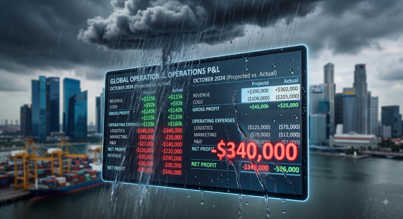
- The baseline risk has shifted: According to August 2025 climate modeling by Zurich Resilience Solutions reported in Fortune, six major Southeast Asian cities—Singapore, Bangkok, Ho Chi Minh City, Jakarta, Kuala Lumpur, and Manila—are now classified as high-risk for severe flooding and extreme heatwaves. Operating on the assumption that "it probably won't rain on us" is now a highly visible operational liability.
- The scale of tropical disruption: The consequences of missing a weather call in this region are massive. Late-2025’s cyclone-driven floods displaced almost 300,000 people in Indonesia alone and disrupted more than 17 million students across the Philippines, underscoring the extreme volatility of the current climate.
- Compounding operational hazards: Outdoor events face safety, infrastructure, and attendee-experience risks simultaneously, not as separate concerns. A single weather event threatens all three.
- Lightning is the ultimate hard-stop: Lightning is typically the single hazard most likely to force an immediate pause or site-wide evacuation, making high-resolution advance warning critical for crowd management.
- Heat stress is the silent crisis: Often underestimated compared to dramatic storms, extreme heat during daytime events with dense crowds and limited shade is a massive liability in Southeast Asia's high-humidity environments.
- Unified intelligence is required: Monitoring rain, lightning, wind, and heat through a single hyperlocal data feed allows an operations lead to see one unified risk picture, rather than trying to reconcile four separate, conflicting consumer weather apps mid-event.
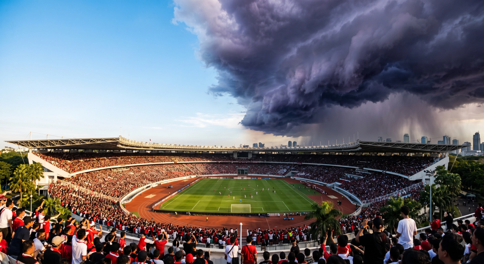
In the high-stakes world of live outdoor events, producers manage thousands of moving parts: artist riders, staging logistics, crowd control, and vendor supply chains. Yet, the single largest variable determining the financial and reputational success of an outdoor festival, sporting event, or massive corporate gathering is often the one organizers feel they have the least control over: the weather.
Historically, event production in Southeast Asia has relied on a mix of seasonal averages, generic airport weather forecasts, and sheer optimism. But the physical climate of the region is rapidly rewriting the rules of live events.
Recent climate modeling of major Southeast Asian cities makes it explicitly clear that relying on hope is an increasingly dangerous strategy. According to extensive analysis by Zurich Resilience Solutions, six primary event hubs—Singapore, Bangkok, Ho Chi Minh City, Jakarta, Kuala Lumpur, and Manila—now face critical, escalating risks from both compounding floods and severe heatwaves. The scale of these events is staggering; tracking by the Center for Disaster Philanthropy noted that late-2025’s severe cyclone-driven monsoon storms displaced nearly 300,000 people in Indonesia and disrupted operations for over 17 million across the Philippines.
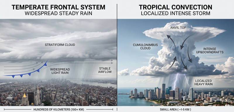
When regional weather can shut down entire cities, it can certainly wash out a music festival or a marathon. The challenge for event organizers is that weather risk is not monolithic. A single convective tropical storm system can bring intense rain, ground-striking lightning, and structural-damaging wind gusts all within the same 45-minute window. Effective event contingency planning requires a specific, data-driven threshold for each distinct hazard, rather than a single, generic "go or no-go" call based on a dark cloud on the horizon.
Here is how modern operations teams break down and manage the four core weather hazards in tropical climates.
1. Intense Rain and Its Infrastructure Impact
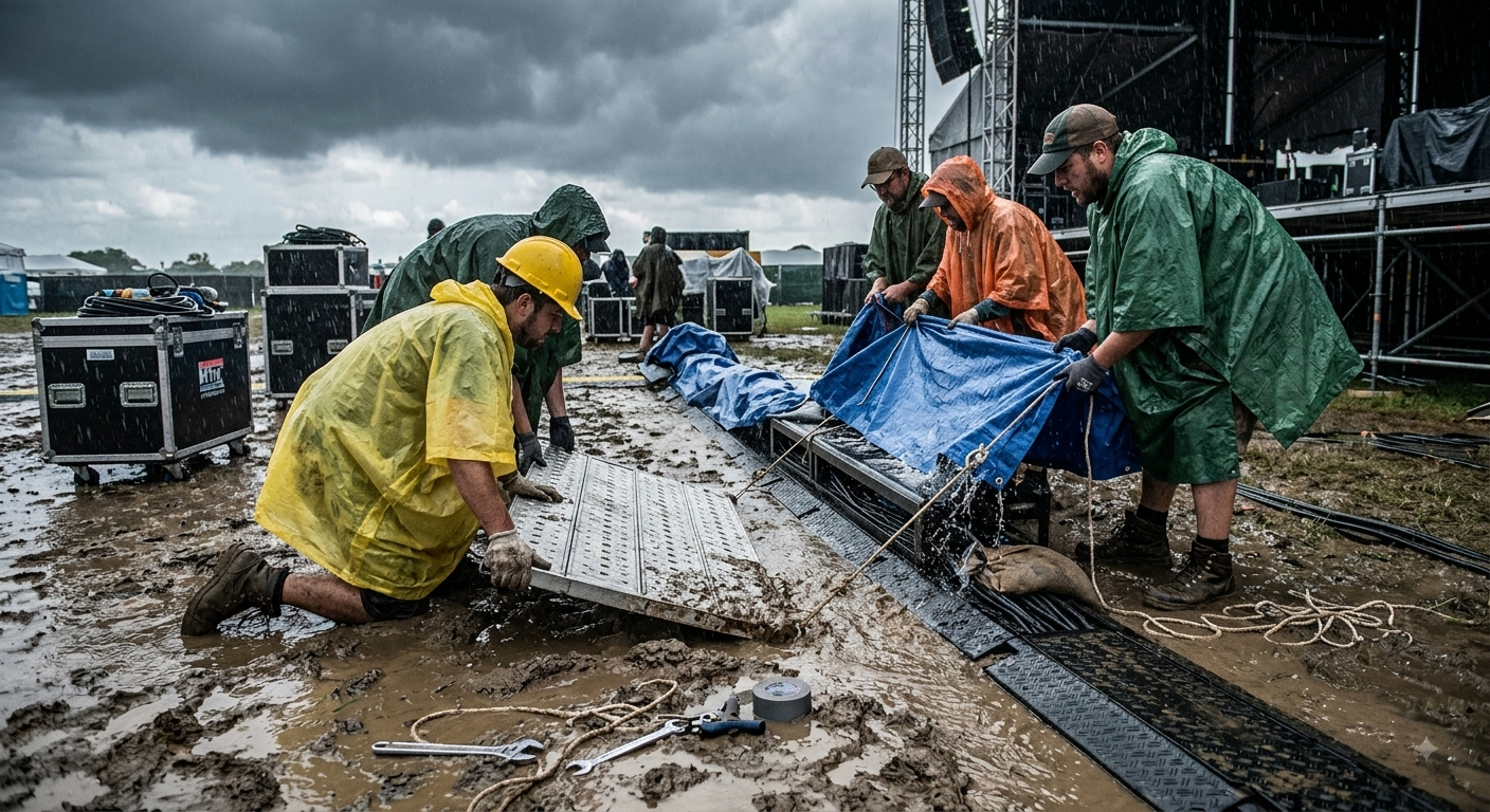
Rain is the most common disruptor of outdoor events, but its impact is widely misunderstood. Heavy, sudden rainfall affects everything from stage electrical safety to crowd ingress and egress through unpaved or poorly drained venue areas. These risks scale exponentially with both the intensity of the rainfall and the physical footprint of the event.
Event directors must differentiate between two distinct types of rain risk: intensity and duration.
- Intensity (The Flash Threat): A short, sharp tropical downpour—dumping 40mm of rain in 30 minutes—creates immediate surface pooling. It tests the capacity of local drainage, creates acute slip-and-fall hazards for crowds, and can short-out ground-level lighting or vendor equipment.
- Duration (The Structural Threat): Sustained rain over several hours, even if less intense, poses a severe infrastructure risk. Prolonged saturation softens the ground, testing the structural integrity of temporary flooring, VIP tent ballasts, and heavy staging foundations. Equipment that is stable on dry grass can quickly become dangerously unstable in saturated mud.
Managing rain requires hyperlocal data. A 5km-resolution public weather app might show a 60% chance of rain for the entire district, but an event manager needs to know exactly when the leading edge of a rainband will cross the perimeter of their specific venue. With 100m-resolution nowcasting, operations teams can trigger a phased response: pausing outdoor soundchecks 20 minutes before the rain hits, rather than scrambling to throw tarps over expensive mixing boards as the first drops fall.
2. Lightning: The Acute Safety Hazard
For any event featuring an exposed crowd, elevated metal staging, open fields, or temporary scaffolding, lightning is the ultimate hard-stop. It is the single hazard most likely to force an immediate, non-negotiable pause or evacuation. It is also the hazard where advance warning matters the absolute most, because lightning can strike the ground kilometers ahead of the actual rain curtain. Waiting to feel rain before pausing an event is a recipe for a fatality.
A workable, professional lightning protocol requires two strict, data-driven thresholds, not one:
- The Proximity Trigger: A defined radius (commonly 10km to 15km from the venue perimeter). If an automated API detects a strike within this geofenced radius, the event immediately transitions into a mandatory pause. Artists leave the stage, and crowds are directed to pre-planned hard shelters. Having an API trigger this automatically removes the dangerous emotional bias of a promoter wanting to let the headliner "play just one more song."
- The Quiet Period: A mandatory countdown (typically 30 minutes) after the last detected strike within the radius before resuming operations. Lightning risk persists in the atmosphere well after the visible rain has passed.
3. Wind and Structural Risk
Temporary event structures—main stages, massive LED screens, vendor marquees, and sponsor activations—carry severe wind-related risks. Unfortunately, public wind forecasts rarely address wind at the resolution, altitude, or specificity that event engineers require.
Manufacturer-rated wind limits for temporary structures are typically set well below the wind speeds that would cause catastrophic, visible damage. This is precisely because failure at those extreme speeds tends to be sudden and violent, rather than gradual.
In Southeast Asia, the primary wind threat usually comes from convective downdrafts (microbursts) associated with localized thunderstorms, rather than sustained prevailing winds. These gusts can arrive with virtually no visual warning. Treating the manufacturer's rated limit as a hard, automated data threshold—not a starting point for a judgment call—is what keeps a sudden gust from turning a damaged stage into a mass-casualty incident. By piping hyperlocal wind-speed forecasts directly into the event command center, structural engineers can lower LED screens and drop tent sidewalls well before the gust front arrives.
4. Heat and Crowd Safety
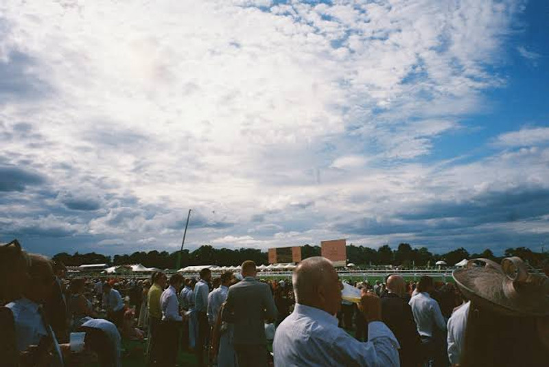
While producers obsess over storms, heat stress is frequently the most underestimated risk at daytime events, particularly for dense, standing crowds with limited access to shade or water. In the tropical climates of Singapore, Manila, and Bangkok, high ambient temperatures are dangerously compounded by extreme humidity.
Heat stress does not announce itself with a sudden thunderclap; it builds cumulatively over hours. Relying solely on the air temperature (Dry Bulb) is insufficient. Operations teams must monitor the Wet Bulb Globe Temperature (WBGT), which factors in temperature, humidity, wind speed, and solar radiation to provide a true measure of heat stress on the human body.
Because heat risk is cumulative, the most effective monitoring approach involves tracking the heat-stress index continuously through the event with pre-agreed, automated response tiers:
- Tier 1 (Elevated): Push notifications via the event app reminding attendees to hydrate; increase water pressure at refill stations.
- Tier 2 (High): Deploy mobile misting fans into the densest crowd pockets; open secondary shaded rest areas.
- Tier 3 (Severe): Reposition medical rapid-response teams to the front of stage barricades; mandate longer breaks between daytime sets.
Responding to heat must be proactive based on incoming data, rather than reactive based on the number of attendees fainting at the medical tent.
Integration: What Event Teams Actually Need to Know
Because these four hazards—rain, lightning, wind, and heat—frequently arrive together in a compounding cluster, event operations desperately need a unified view.
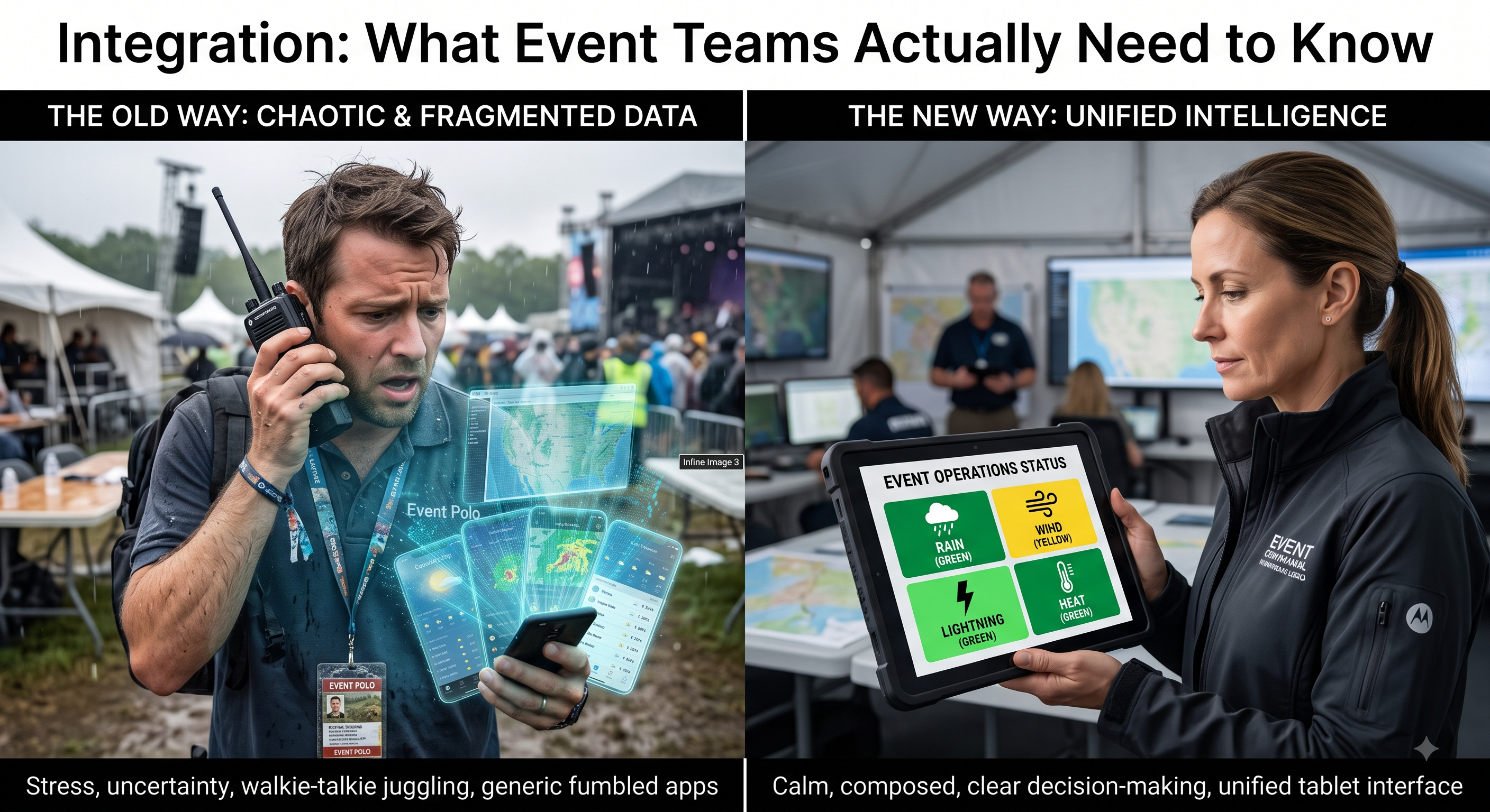
During a crisis, an operations director does not have the time to check a government radar site for rain, a consumer app for lightning, an anemometer for wind, and a thermometer for heat. Attempting to reconcile four separate, often conflicting data sources mid-event leads to decision paralysis.
A single, hyperlocal API connection that covers all four hazards allows the operations lead to see one unified, definitive risk picture for the venue.
This is where specialized intelligence changes the game. Pluvia's API delivers rain, lightning, wind, and heat parameters from the exact same 100-meter, 2-minute-refresh feed. This means the critical safety thresholds described in this article, once established during the planning phase, can run seamlessly off a single integration. Whether piped into the command center's primary dashboard or sent via automated SMS to the stage managers, the event team operates off a single source of truth.
You cannot control the weather over your festival site. But with hyperlocal data and rigorous thresholds, you can entirely control your response to it—protecting your attendees, your infrastructure, and your bottom line.
About Pluvia: Pluvia.ai provides hyper-local weather and flood prediction APIs purpose-built for Southeast Asia. We deliver 100m resolution, 2-minute refresh rates, and physics-informed AI models to help operations teams act with certainty. Contact us at contact@pluvia.ai or visit pluvia.ai.
Call to action: Stop guessing the forecast. Get a hazard-specific weather risk assessment for your next major event — get in touch with Pluvia.