
1. Overcoming Tropical Rainfall Challenges
Accurate rainfall readings are crucial for water resource management, early flood warnings, and weather prediction. However, describing and forecasting tropical rainfall is uniquely complex due to its rapid spatial and temporal variation.
- The Challenge: Traditional rain gauges measure rainfall at ground level but are typically sparse and spaced too far apart to capture localized tropical downpours. Weather radars (such as S-, C-, and X-band) cover wider geographical areas but miss hyper-local, ground-level details.
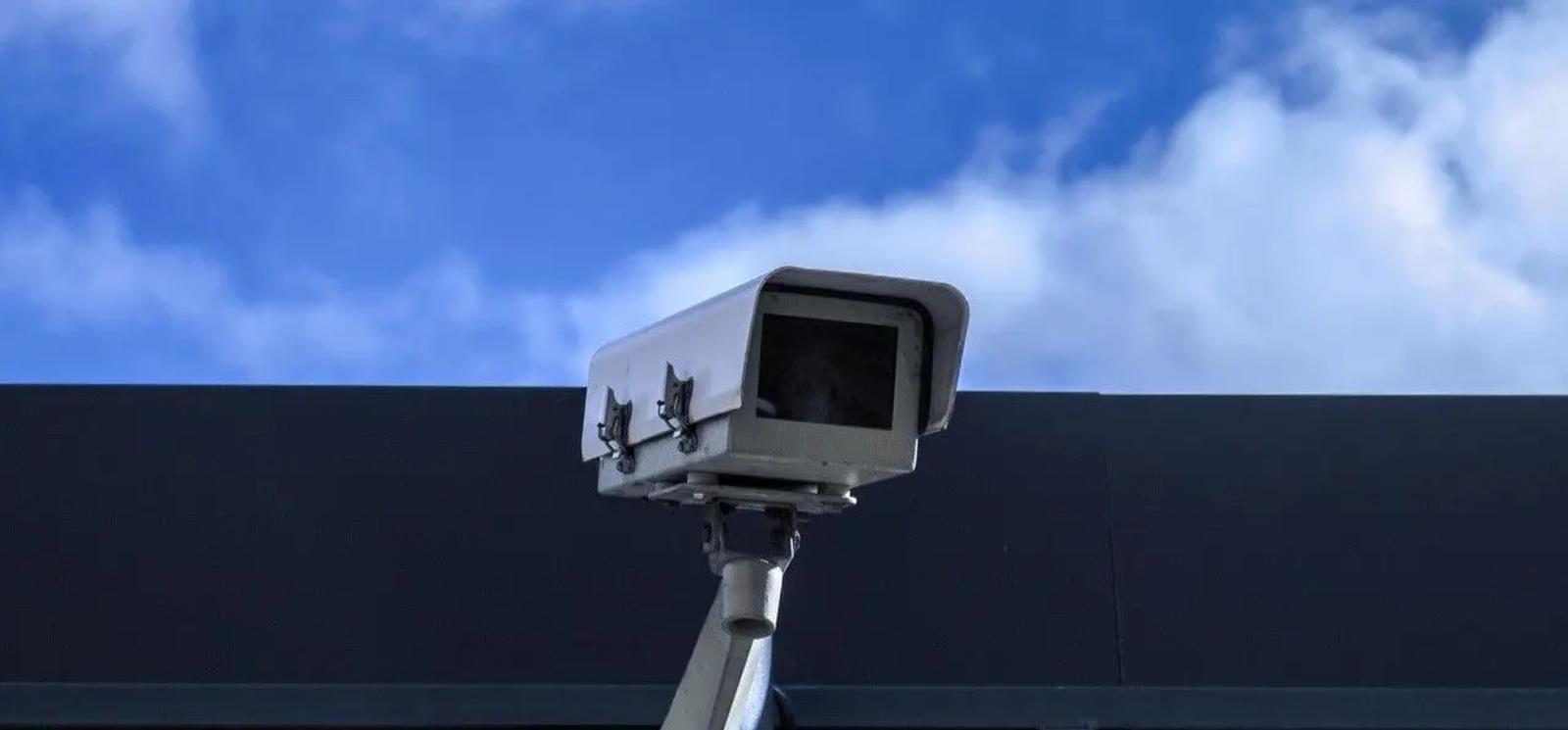
- The Solution: Leveraging Singapore's existing smart city infrastructure—specifically densely distributed street-level CCTVs and Internet-of-Things (IoT) device cameras—provides highly accurate spatial and temporal rainfall data right at the ground level.
2. Proven Success in Initial R&D
In 2019, H2i collaborated with PUB on a 1.5-year R&D project evaluating six existing PUB CCTVs and IoT cameras as rainfall measurement sensors.
By applying Machine Learning and a VGG-based Deep Learning model (a convolutional neural network tailored for image processing), the project achieved promising results:
- Hidden Rain Detection: The optical sensors detected rainfall events that nearby traditional rain gauges completely missed.
- Multi-Category Classification: Even with low-resolution video feeds, the model successfully categorized rainfall intensity into five distinct tiers: No Rain, Light Rain, Medium Rain, Heavy Rain, and Extreme Rain.
"Given that, we know that these optical sensors can be effectively used to gauge rainfall rates in real-time."
— Meinte Vierstra, Project Manager, H2i
3. Island-Wide Scale-Up and Infrastructure
Following the pilot's success, H2i and PUB are scaling up the initiative to deploy across 150 CCTVs—representing roughly one-third of all surface CCTVs managed by PUB in Singapore.
- Project Scope & Timeline: The scale-up initiative spans from 12 April 2021 to 11 October 2022.
- Funding & Support: Supported by PUB and Singapore’s National Research Foundation (NRF) under the Living Lab (Water) Scheme.
- Technical Focus: The initiative will test and optimize cloud computation and storage infrastructure, while establishing a Machine Learning framework for continuous, semi-automated model performance improvements.
4. Conclusion & Key Takeaways
Conclusion
By converting existing urban infrastructure into an intelligent sensing network, H2i and PUB demonstrate how smart cities can elevate flood preparedness without heavy capital investments. Integrating street-level camera feeds with traditional radar and gauge networks fills critical observational blind spots, giving Singapore a clearer, real-time view of tropical weather patterns as climate risks evolve.
Key Takeaways
- Repurposes Existing Assets: Turns 150 existing PUB street CCTVs and IoT cameras into high-density optical rain gauges.
- Fills Data Blind Spots: AI-driven image analysis detects hyper-local rain events missed by sparse physical rain gauges.
- Classifies Intensity in Real-Time: Categorizes live camera feeds into five rainfall intensity levels from light to extreme rain.
- Scalable Cloud Infrastructure: Tests cloud processing and semi-automated Machine Learning workflows for ongoing system refinement.